
How International Teams are Using Subsea Imaging Technology
Subsea imaging technologies serve as critical instruments in both marine science and offshore energy sectors. These tools enable scientific inquiry and industrial applications. Through the lens of subsea imaging, international teams are empowered to conduct extensive research and execute precise infrastructural assessments. In this article, we will explore why international collaboration is so important in these industries. We’ll also delve into how these teams are using subsea imaging technology to carry out the surveys and inspections necessary for their respective industries.
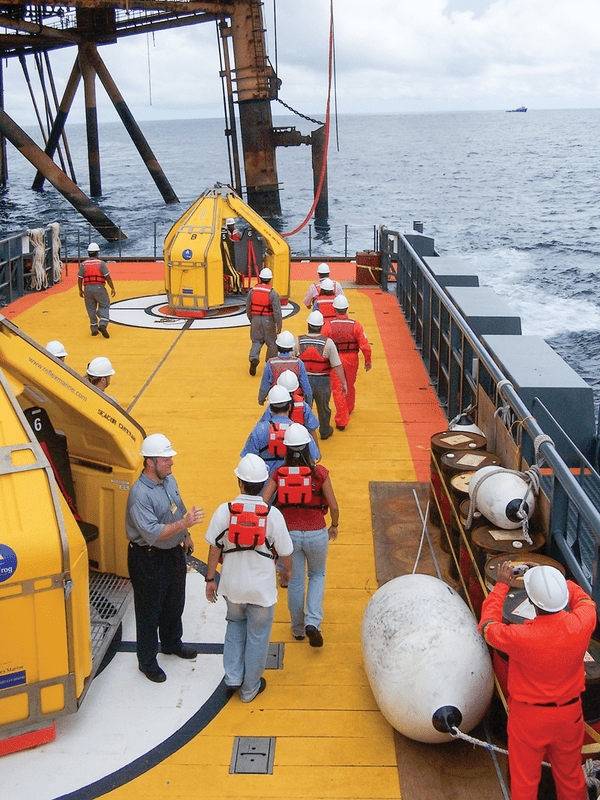
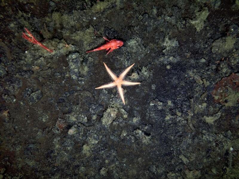
Image credit: World Oil
The Importance of International Collaboration in Marine Science & Offshore Energy
The oceans know no borders, and the challenges they present are inherently global. International collaboration emerges as a vital catalyst for progress in marine science and offshore energy sectors. Through partnerships forged across nations and disciplines, researchers and industry professionals pool resources, expertise, and technologies to tackle complex issues ranging from climate change impacts to sustainable energy production.
How Are International Teams Working Together Offshore?

Access to Diverse Expertise
Marine science and offshore energy are highly interdisciplinary fields that require expertise in various areas such as oceanography, biology, engineering, and policy-making. International teams bring together experts from different countries and backgrounds, allowing for a more comprehensive understanding of complex marine ecosystems and energy systems.

Shared Resources and Infrastructure
Many marine research projects and offshore energy developments require access to specialized equipment, research vessels, and infrastructure that may not be available in every country. By pooling resources and expertise, international teams can leverage shared facilities and equipment, reducing costs and increasing efficiency.

Global Perspective
The world's oceans are interconnected, and issues such as climate change, pollution, and resource management require a global perspective. International collaboration enables researchers and industry professionals to study transboundary phenomena, share data and best practices, and develop solutions that address global challenges effectively.

Access to Funding
Large-scale marine research projects and offshore energy developments often require substantial financial investment. International collaboration allows teams to access funding from multiple sources, including government agencies, research institutions, and private industry, increasing the likelihood of project success.

Regulatory Compliance
Offshore energy projects, in particular, must navigate complex regulatory frameworks that vary from country to country. International teams with experience working in different regulatory environments can help navigate these challenges and ensure compliance with local laws and regulations.

Risk Management
The marine environment can be unpredictable and hazardous, with risks ranging from extreme weather conditions to equipment failure. International collaboration allows teams to share knowledge and resources for risk assessment and management, improving safety and minimizing environmental impact.
How Do International Teams Use Subsea Imaging Technology?
At the heart of modern marine science and offshore energy operations lie subsea imaging technologies. These cutting-edge tools offer unprecedented insights into the underwater world, enabling researchers and industry professionals to visualize, analyze, and monitor marine ecosystems and infrastructure with unparalleled clarity and precision.
Marine Science & Subsea Imaging Technology
Ecosystem Monitoring
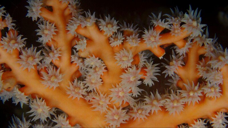
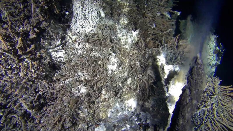
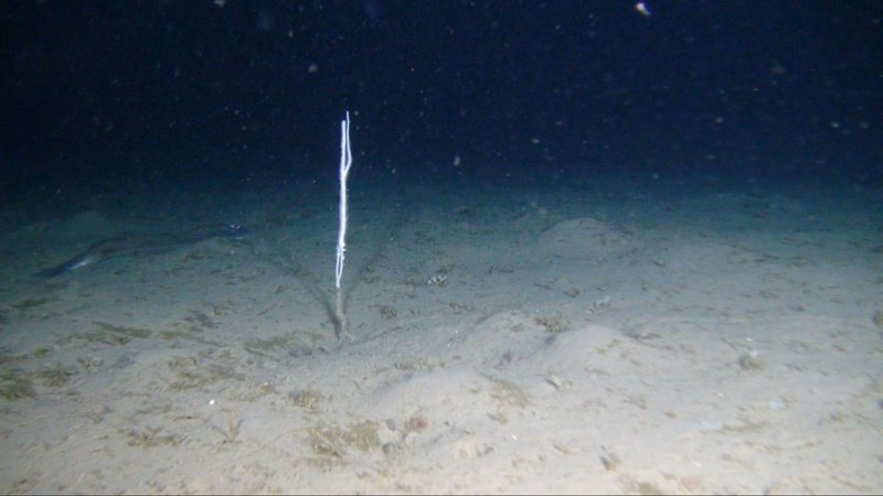
International teams utilize subsea imaging to monitor marine ecosystems and biodiversity. High-definition cameras, LiDAR, and acoustic imaging systems capture detailed images of underwater habitats, allowing researchers to document and track changes over time. This data is crucial for understanding the impact of environmental factors and human activities on marine life.
Archaeological Exploration
Subsea imaging plays a vital role in marine archaeology, enabling researchers to explore and document underwater archaeological sites with unparalleled clarity. Remotely operated vehicles (ROVs) equipped with imaging sensors capture high-resolution images and video footage of sunken ships, ancient ruins, and submerged artifacts, providing valuable insights into maritime history and cultural heritage.
Oceanographic Research
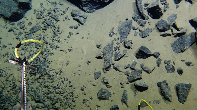
Subsea imaging technologies aid oceanographic research by providing visual data on ocean currents, seafloor topography, and underwater geology. International teams use these tools to study oceanographic processes, map underwater terrain, and investigate geological features such as underwater volcanoes, seamounts, and deep-sea trenches.
Offshore Energy & Subsea Imaging Technology
Site Surveys and Exploration
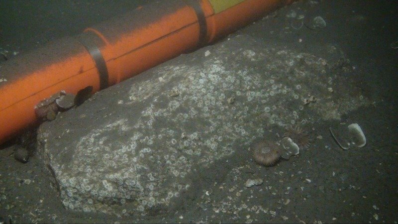
Subsea imaging is instrumental in offshore energy exploration, allowing international teams to conduct detailed surveys of the seabed to identify potential drilling sites and assess the feasibility of offshore energy projects. High-resolution imaging systems provide valuable data on geological formations, seabed conditions, and resource potential, helping companies make informed decisions about resource extraction.
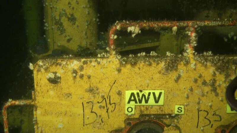
Infrastructure Inspection
In the offshore energy industry, subsea imaging technologies are used to inspect and maintain offshore infrastructure such as pipelines, drilling rigs, and offshore wind turbines. ROVs equipped with imaging sensors capture real-time video feeds of underwater structures, enabling teams to identify signs of damage, corrosion, or structural integrity issues and perform necessary maintenance and repairs.
Environmental Monitoring
Subsea imaging plays a crucial role in environmental monitoring and regulatory compliance in offshore energy operations. By capturing detailed images of underwater ecosystems and marine life, international teams can assess the potential environmental impact of offshore energy projects and develop strategies to minimize disruption to marine habitats and species.
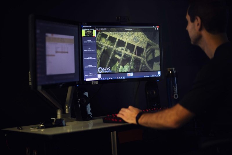
Remote Operations
International teams are using subsea imaging technology as part of the advanced piloting systems needed for remote operations. These systems, combined with real-time streaming and audio communication, enable teams to remotely pilot vehicles and conduct detailed assessments and seabed mapping from off-site locations. Live streaming of video, audio, and data allows for immediate feedback and decision-making, enhancing safety by minimizing offshore personnel exposure. This approach not only streamlines operations but also contributes to a more sustainable operational environment across various industries.
Offshore Collaboration in Action
Several notable examples illustrate the transformative impact of international collaboration and subsea imaging technologies in marine science and offshore energy sectors. One such initiative is the Ocean Exploration Trust's Nautilus Exploration Program, a multinational effort dedicated to advancing ocean exploration and scientific research. Through partnerships with academic institutions, government agencies, and industry partners worldwide, the program conducts interdisciplinary expeditions using state-of-the-art ROVs equipped with advanced imaging systems. These expeditions explore deep-sea ecosystems, map underwater geology, and investigate historical shipwrecks.
In the offshore energy sector, the North Sea Basin-wide Survey (NSBS) represents a collaborative endeavor aimed at enhancing the understanding of subsurface geology and infrastructure in the North Sea region. Coordinated by a consortium of oil and gas companies, research institutions, and regulatory agencies from multiple countries, the NSBS employs cutting-edge seismic imaging techniques to characterize geological formations and identify potential hydrocarbon reservoirs. By sharing data and expertise across borders, the NSBS facilitates informed decision-making and promotes sustainable development of offshore energy resources in the North Sea.
Conclusion
The symbiotic relationship between international collaboration and subsea imaging technologies stands as a cornerstone in advancing both marine science and offshore energy sectors. By bridging geographical boundaries and pooling together expertise, these partnerships facilitate groundbreaking research and ensure the integrity and efficiency of critical infrastructures. As we continue to explore the depths of our oceans and push the boundaries of offshore exploration, the significance of such collaboration and innovative technologies cannot be overstated. Together, we navigate towards a sustainable and prosperous future for our oceans and energy resources.