
SubC's cameras, software, and supporting components bring high-resolution digital stills, 4K video, and automatically embedded survey metadata to the drop and tow equipment you already own.
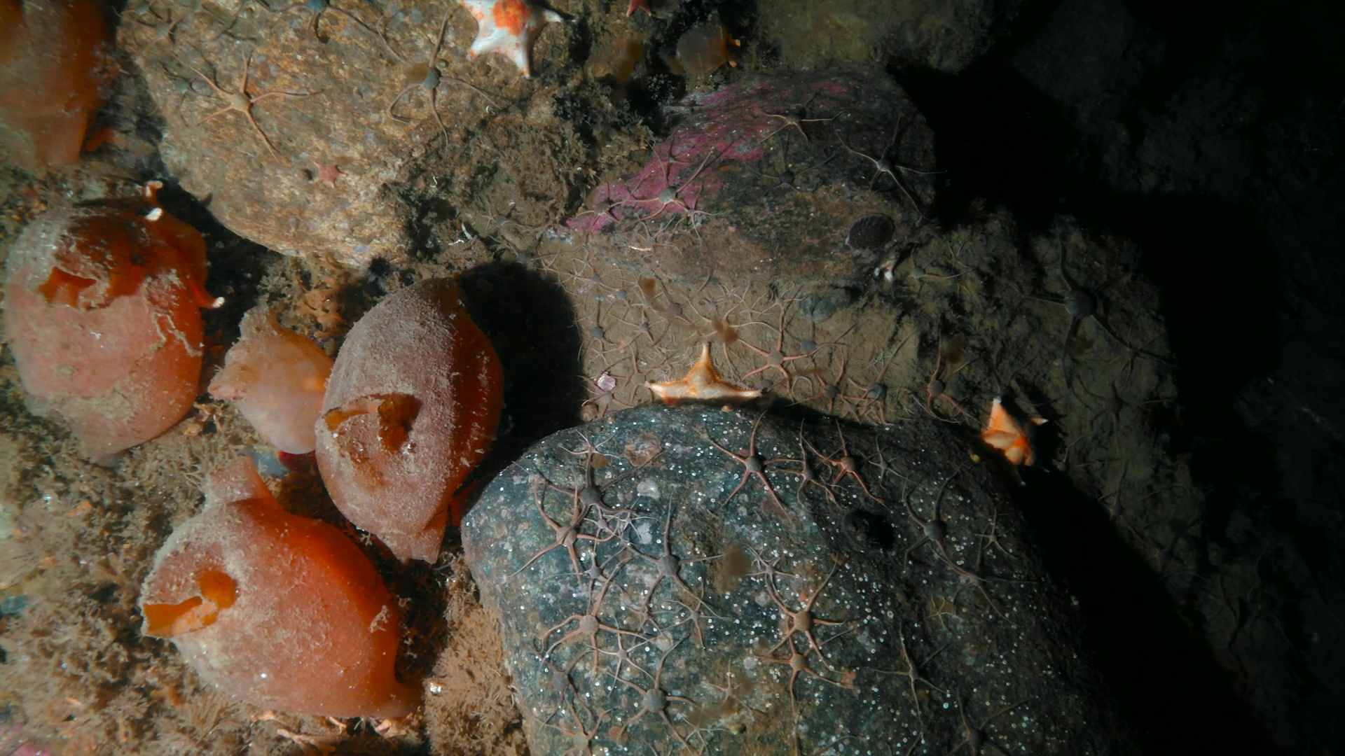
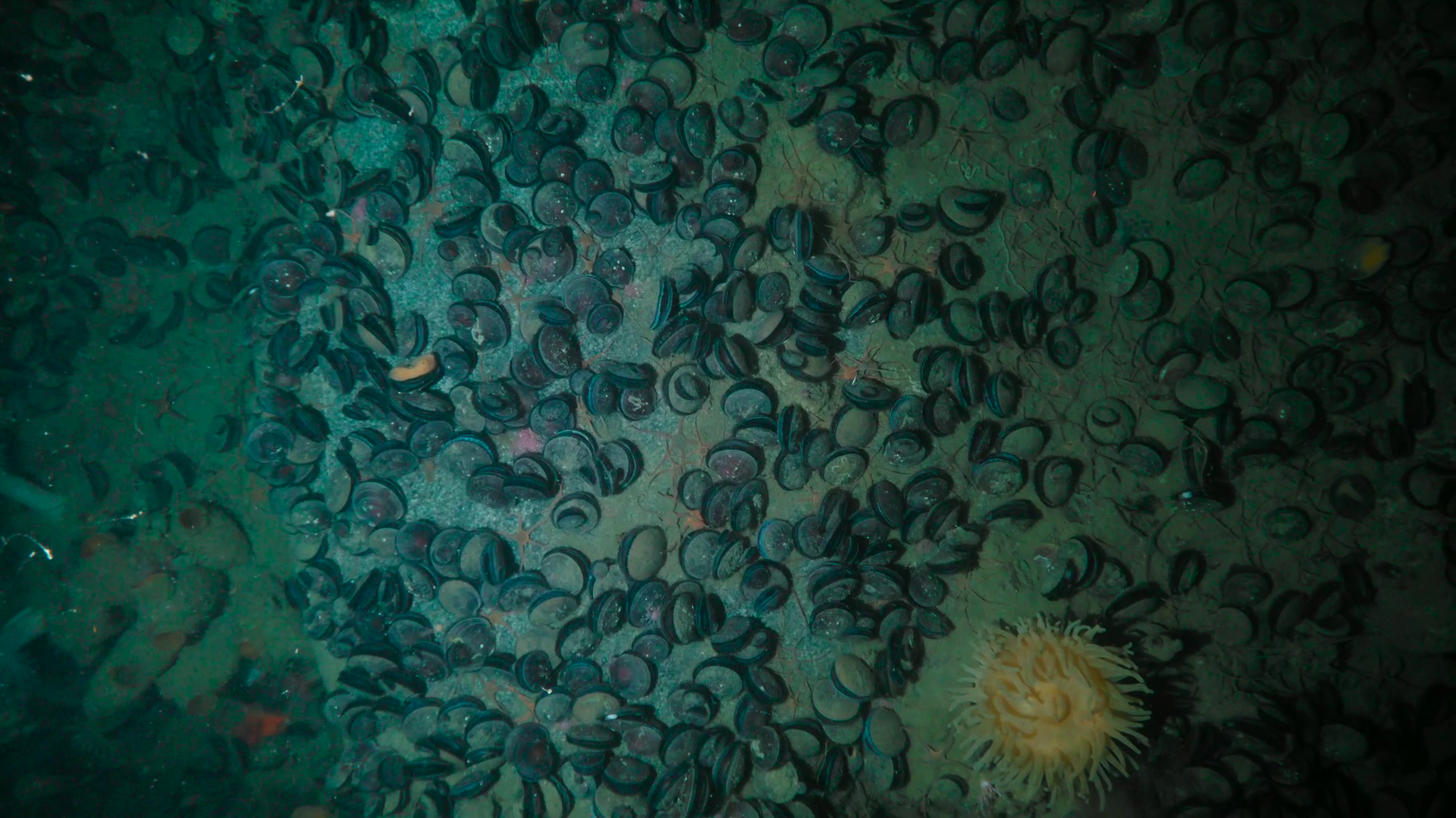
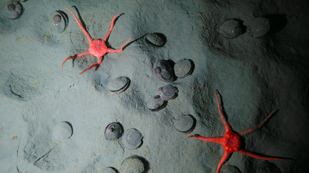



Keep the Equipment That Works & Upgrade What It Can Deliver
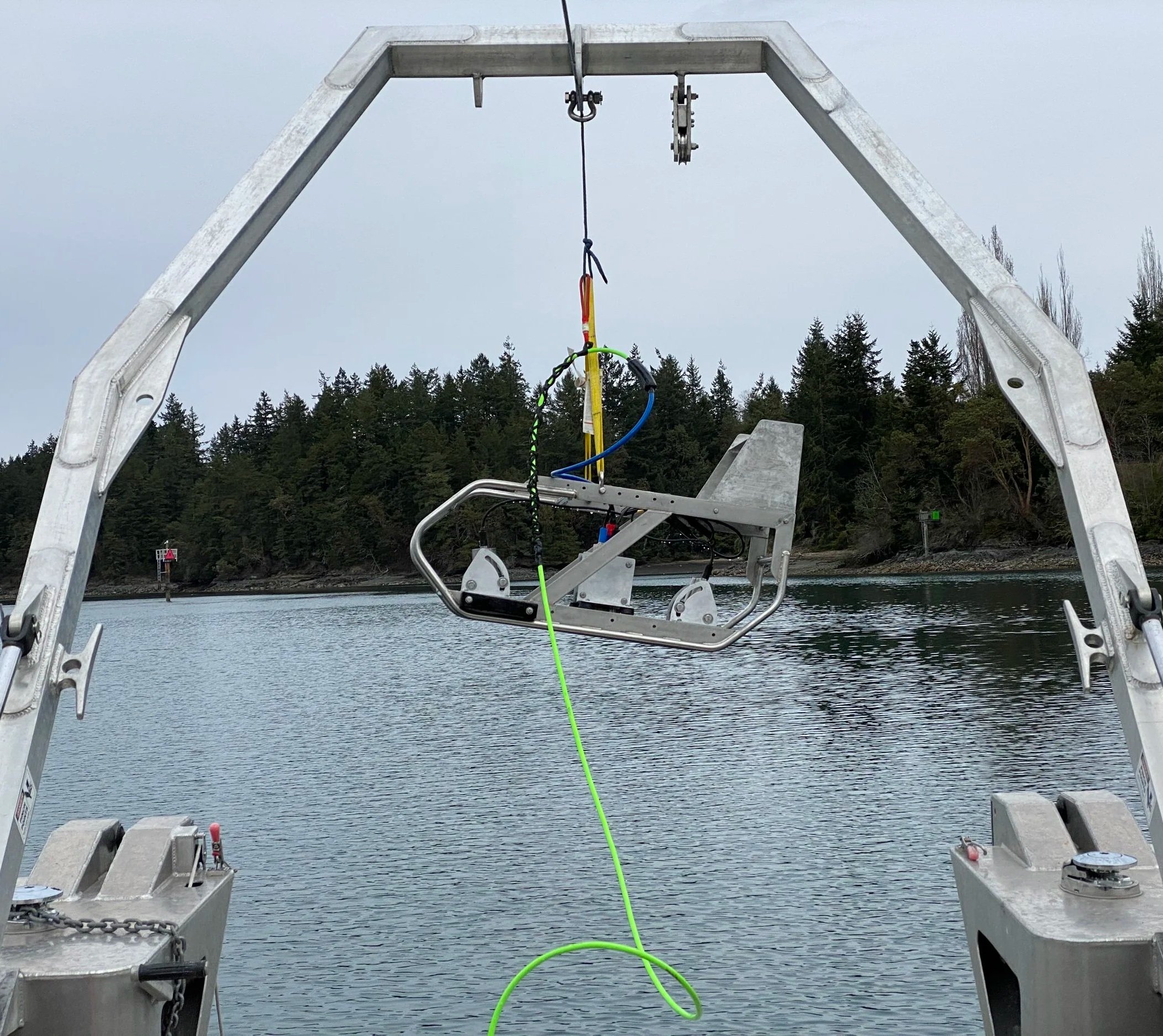
Your existing frame may already suit your vessel, deployment methods, and survey conditions. Building on that foundation lets you target the limitations that affect your work, whether that means adding lighting for clearer seafloor images, lasers for scale, or topside controls for managing capture and recording.
SubC has supported this approach since 2010, when our first cameras were delivered to customers upgrading their drop systems. Today, the same core technology used in our complete Drop and Tow Camera Systems is available for integration into existing equipment.
An upgrade starts with your current setup and your next survey's requirements. Those details guide the selection of cameras, controls, communications, and accessories, so each addition serves a specific purpose.
Bring the Survey Details Into Every Image
A clear image becomes more useful when you know where and under what conditions it was captured.
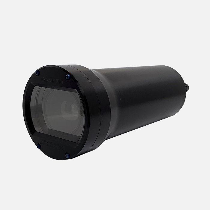
The Rayfin Coastal camera captures 12.3-megapixel stills and HD or 4K video. Paired with DVR+ and the relevant data inputs, the system embeds information such as GPS coordinates, depth, altitude, and time directly into the image files.
This gives your team survey context within the image files themselves. When reviewing a seafloor feature or checking an observation, they can reference that information without manually matching each still to a separate log.
Rayfin also supports real-time transmission and topside storage of video and stills, alongside onboard recording. Your team can monitor the survey as it happens while capturing material for detailed review afterward.
Rayfin has been a game-changer for Ocean Ecology's teams, cutting our post-survey processing times by at least half, and even more for larger projects. The efficiency it offers is unparalleled, making it an invaluable tool for our survey operations.
Ashley Kirby
Head of Survey, Ocean Ecology
Control the Survey From One Interface
During a deployment, operators need to see what the camera sees and respond as conditions change.
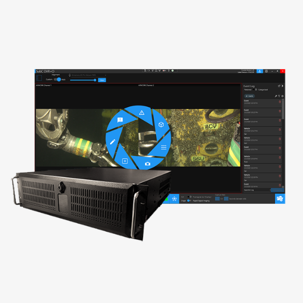
DVR+ brings camera, light, and laser controls into one interface. Operators can adjust exposure, capture photographs, control recording, and tag events while watching live video. Survey data can be displayed on screen, logged in CSV files, and associated with captured imagery.
For an existing system, the supporting components can include a Portable DVR+ Laptop for topside control and recording, plus BPC technology to carry power, video, and data over a single twisted-pair connection. SubC's Kevlar data cable and optional reel or winch provide additional deployment options.
An altimeter, parallel lasers, and lights can be selected around the work you need to complete. These additions support tasks such as monitoring camera altitude, establishing image scale, and illuminating the survey area.
Carry That Organization Through to Reporting
The work continues after the equipment comes back to shore.
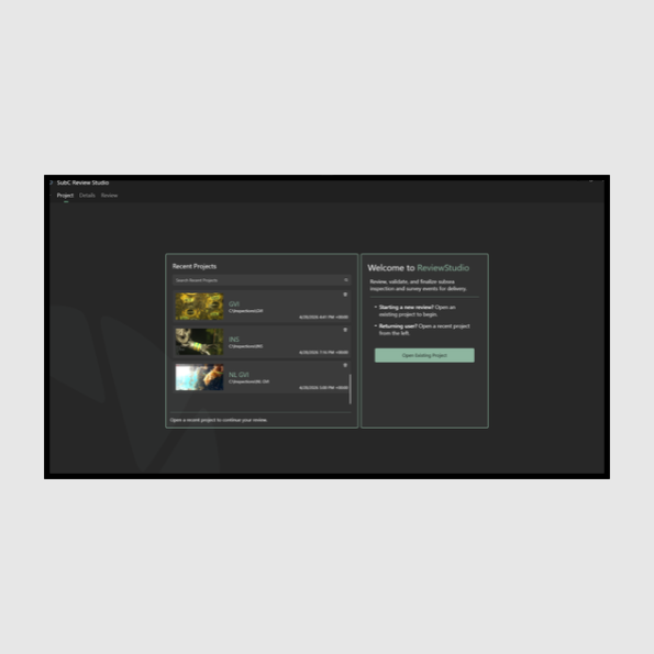
ReviewStudio supports offline review, event editing, and data validation. Your team can revisit observations and export structured logs for client reports, building on the information recorded during the deployment.
This connects the upgrade to a practical outcome: imagery that arrives with its survey context, recorded events that can be reviewed and edited, and logs that support the reporting process.
Plan Your Upgrade Around Your Next Survey
Start with the equipment you already have, the depths you work at, and the data your next project requires.
Those details help establish which components can be retained and where an upgrade will make the most difference.
