
Cut Post-Survey Processing Time by 50% with Clean Metadata
A subsea survey isn't done when the camera system surfaces. It's done when the data is usable.
For most teams, clean metadata is the difference between an afternoon spent on a report and days lost to searching, matching, and rebuilding information instead of analyzing it.
The Real Cost of Disconnected Data
An inspection image is only as useful as the context around it. Without reliable data on when, where, and how it was captured, even a clear shot of a defect loses value. And the traditional fix, logging data manually during a mission and reconciling it with imagery afterward, breaks down fast. One inspection campaign can generate thousands of images and hours of HD video. Every hour spent reconstructing that survey after the fact is an hour not billed, or a delay added to the client's timeline.
Analyst hours lost to searching and matching records
Reports that slip past deadline
Stakeholders who can't independently verify the dataset
Most teams don't have a data problem. They have a data-usability problem.
Cutting our post-survey processing times by at least half, and even more for larger projects. The efficiency it offers is unparalleled.
Ashley Kirby
Head of Survey, Ocean Ecology
Capture Context at the Source
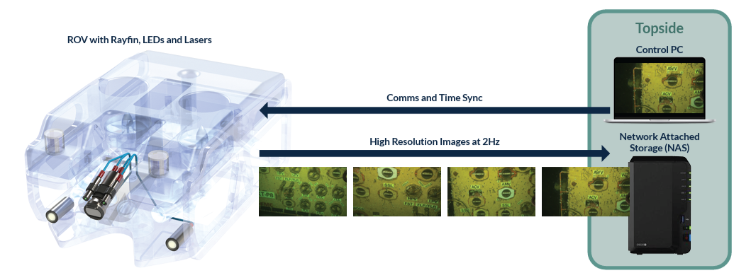
The fix: attach operational data to imagery during collection, not after. When data is captured alongside the footage, it's immediately ready for review and reporting - no separate records, no manual matching.
Fewer billable hours on manual reconciliation
Reports delivered on time
Fewer disputes over data accuracy or location
Lower cost per usable file
More data isn't the goal. Data you can actually use, faster, is.
Less Footage to Re-Watch: SubC's DVR+
DVR+ overlays timestamps, vehicle data, and inspection IDs directly onto footage as it's recorded. The practical result: fewer questions that require re-watching hours of video, because the answer is already on screen.
Images That Hold Their Value: SubC's Rayfin Cameras
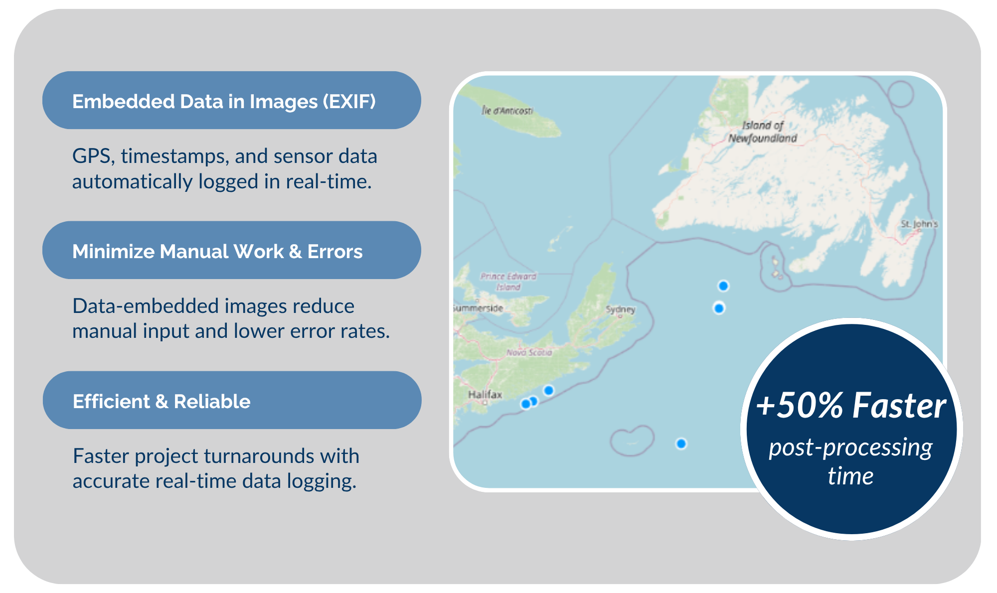
Still images are often an inspection's most valuable long-term record, sometimes referenced years later. Rayfin cameras embed EXIF metadata automatically, so operational context stays attached to every file, meaning faster searching and easier management across large image libraries. Rayfin also integrates with platforms like BIIGLE, streamlining annotation and post-processing.
Trust Your Existing Data
Don't re-run surveys to recover information you already have. Cut both cost and unnecessary vessel mobilizations with a technology ecosystem designed for your workflow.
Clean Metadata Compounds Over Time
Today's imagery may support tomorrow's maintenance decisions, regulatory reviews, or long-term monitoring programs. Without clean metadata, none of that is reliable. It also fuels what comes next: AI-driven defect detection and image classification depend entirely on well-organized data.
The Bottom Line
A survey's success isn't just what it captures. It's what it saves you from having to redo. SubC's DVR+ and Rayfin cameras keep operational context connected from the moment of capture. ReviewStudio enables your team to spend less time managing data and more time acting on it.
Cut The Work Between Survey & Report
Put more of your project budget toward analysis and less toward rebuilding survey records
See how SubC’s technology ecosystem connects imagery, metadata, and observations from data collection through review.
